You may have used street view provided by Google maps. Today I got some other awesome updates that Google map brought to everyone. Google maps got two really awesome features that you should use.
- Underwater view
- Mountains view
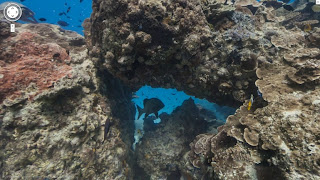
Google Maps got you underwater street view. Now you can view underwater images whenever you want. You can see fishes, turtles and every other water life without even going in water. I called this underwater street view because it is based on street view technology.
To capture stunning underwater views Google partnered with the Catlin Seaview Survey. Google Features reefs from the Hawaii, Philippines and Australia.
Here are link that will take you to different underwater views:


